



Places
Reference articles, profiles and guides about Zimbabwe. 211 articles
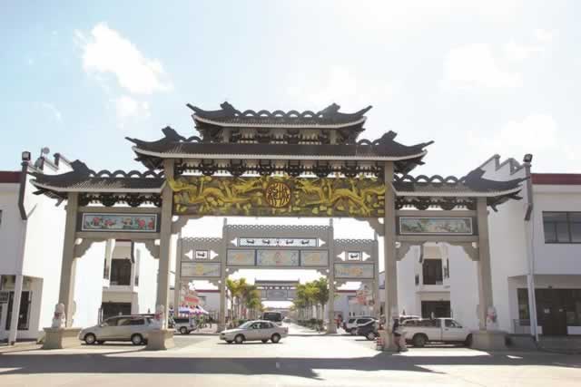 Longchen PlazaLongchen Plaza is a shopping mall that saw its groundbreaking in October 2012 and became fully functional in December 2013. The plaza has a vast array of shops offering a wide range of products and se...Places28 September 2017
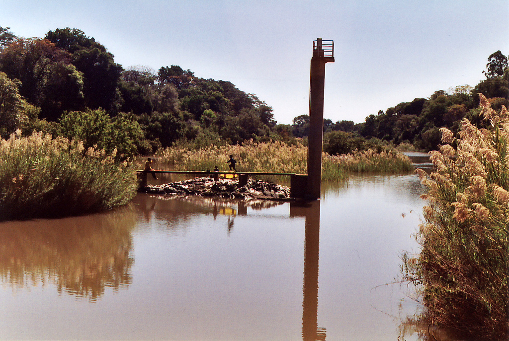 Know your Rivers - Mupfure RiverThe river has its source in Mashonaland East province and it crosses into Mashonaland West province. It joins Sanyati River which flows northwards and drains into the Zambezi River. Another name for t...Places27 September 2017
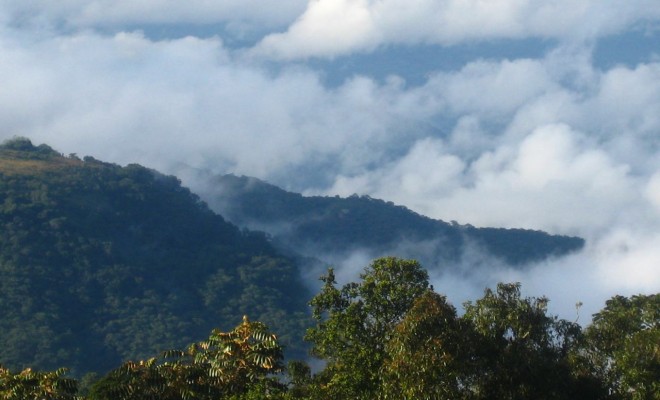 Why you need to visit - Vumba MountainsSituated 25km South-East of Mutare are the beautiful Bvumba Mountains better known as Vumba mountain. Rising to a height of about 1 911 meters, the mountains extend North-Eastwards across the Zimbabwe...Places27 September 2017
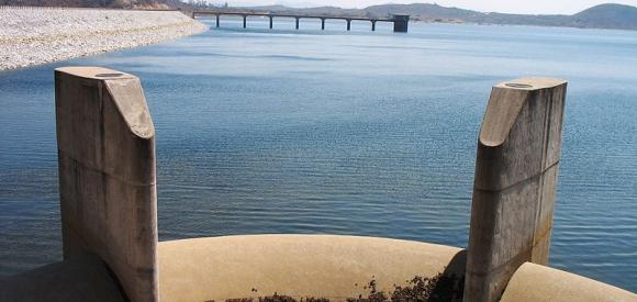 Osborne Dam Recreational ParkAbout Osborne Dam Osborne Dam is the largest lake in the Manicaland region and is one of the major inland lakes in Zimbabwe. The large lake covers in excess of 2 600 hectares of land with a carrying c...Places26 September 2017
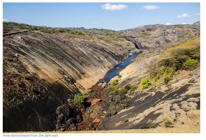 Lake MutirikwiHistory The dam was constructed in 1960, the same year the Recreational Park was established. The primary reason for the construction of Kyle Dam was to act as a reservoir to irrigate the vast citrus....Places25 September 2017
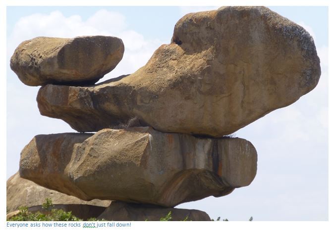
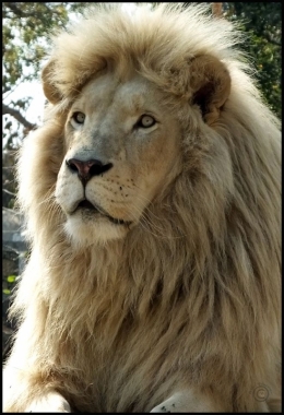 Lion Park and Snake WorldThe park offers its guests a taste of the Zimbabwean Highveld: a feat of indigenous fauna and flora set amongst magnificent balancing rocks and panoramic views. Vehicles are often parked at the kiosk,...Places15 September 2017
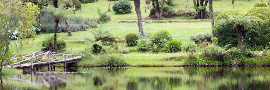 Vumba Botanical Gardens and ReserveThe nucleus of the combined area was bought by Government from Mr. F.J. Taylor in 1957 and was proclaimed a National Park in 1958. In 1960, the name of the Gardens was changed to Vumba National Park a...Places6 September 2017
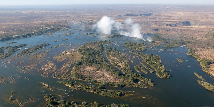 Zambezi RiverThe river flows through six countries on its journey from its source in north-western Zambia to the Indian Ocean, an amazing 2 700 km. This river evokes mystery and excitement with few rivers in the w...Places10 February 2017
 Victoria Falls National ParkThe Victoria Falls National Park together with the Zambezi National Park cover an area of 56,000 hectares. The northern border of the Park is formed by the great Zambezi River which also forms the bor...Places10 February 2017
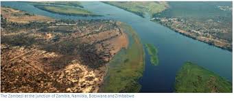 Zambezi National ParkZambezi National Park together with Victoria Falls National Park cover an area of 56,000 hectares. The northern border of the Park is formed by the great Zambezi River which also forms the border betw...Places10 February 2017
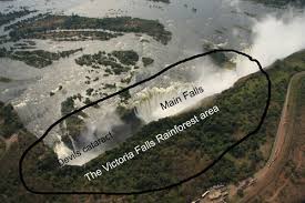 Rain Forest (Victoria Falls)The rain forest is part of the 1900ha reserve established in 1937 and is part of the broader Victoria Falls National Park. Among the animals that may be seen here are bushbuck, baboons and mongooses.....Places9 February 2017
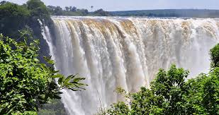 Mosi-oa-TunyaIt known worldwide as Victoria Falls on the Zambezi River. The river forms the border between Zambia and Zimbabwe, so the falls are shared by the two countries ‘Mosi-oa-Tunya’ comes from the Kololo or...Places9 February 2017
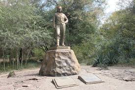 David Livingstone StatueDavid Livingstone was the first European to see the Mosi-oa-Tunya waterfall, of which he wrote later, "Scenes so lovely must have been gazed upon by angels in their flight." He renamed them the Victor...Places9 February 2017
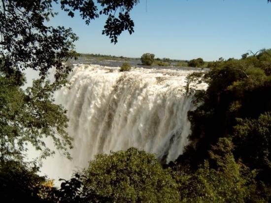 Eastern Cataract FallsThese are the second highest falls and they are situated completely on the Zambian side of Victoria Falls but you can have a stunning view of them from the Zimbabwean side at danger point.Places9 February 2017
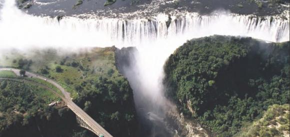 Horseshoe FallsThis is the section with the least volume of water and will be the first to dry up usually between October and November.Places9 February 2017
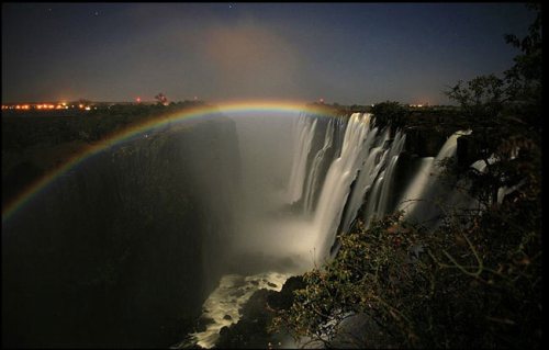 Rainbow FallsOn a clear day a beautiful rainbow can normally be viewed at this point. A Lunar rainbow may also be seen on a full moon lit night.Places8 February 2017
 Main Falls (Victoria Falls)This a wide curtain of water, with a peak flow rate of 700 000 cubic metres per minute. The sheer volume over the height of the falls is so great that before getting anywhere near the ground, the wate...Places8 February 2017
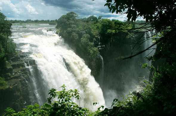 The Devils CataractThe name comes from the adjacent island in the river where the local tribes used to perform sacrificial ceremonies. When the missionaries arrived in the area they referred to these ceremonies as “devi...Places8 February 2017
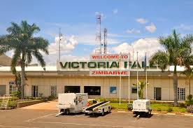 Victoria Falls AirportThe airport is situated 18 kilometres south of Victoria Falls Town in Zimbabwe. Airport Refurbishment: The airport recently received a $150 million face lift which included the building of a new airpo...Places8 February 2017
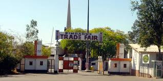 Zimbabwe International Trade Fair Exhibition CentreThe fair is the largest intra-regional trade fair south of the Sahara, it is organized and hosted annually by the ZITF Company at the Zimbabwe International Trade Fair Exhibition Center in the country...Places3 February 2017
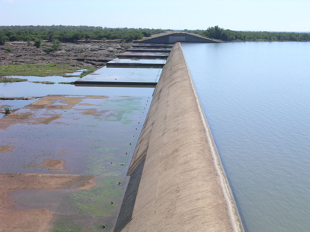 Zhovhe DamThe water reservoir is situated on the Mzingwane River in Matabeleland South Province. It supplies water to the town of Beitbridge.Places2 February 2017
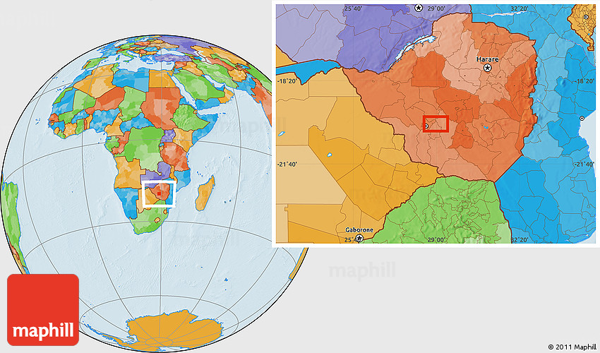 Woodville ParkThe estimate terrain elevation above seal level is 1314 meters. Its geographical coordinates are: Latitude: -20°6'46.01" Longitude: 28°39'2.98"Places2 February 2017
- WoodvilleThe suburb is located in Bulawayo, next to United Bulawayo Hospitals on the southern side.Places2 February 2017
- WoodlandsThe area is located in Bulawayo, the second capital city in Zimbabwe.Places2 February 2017